

SJAWS project targets GNSS interference alerts for infrastructure
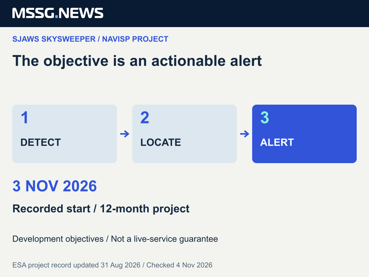
An ESA NAVISP record gives 3 November 2026 as the start of a twelve-month project involving Canada’s SJAWS Technologies and France’s Syntony. Detection and alerts are development objectives, not a delivered service.

- GNSS
- NAVISP
A twelve-month project to develop detection of satellite-navigation jamming and spoofing has a recorded start date of 3 November 2026 in ESA’s NAVISP programme. The project page identifies SJAWS Technologies Inc. of Canada as prime contractor and France’s Syntony as subcontractor.
The proposed SJAWS Skysweeper system is intended to detect interference, determine its direction and location, and alert affected users of GPS-based navigation. Airports and harbours are given as examples of potential users once the service becomes operational.
The source is a project record last updated on 31 August, not a new November announcement of a finished product. Its status is “On Going”. The start date and twelve-month duration describe the development programme; they do not establish a public launch date or successful field acceptance.
An alert needs an operational recipient
Our assessment is that the infrastructure question extends beyond detecting a suspect signal. An airport or harbour would need to know who receives an alert, what area and time it concerns, how confidence is expressed and how it fits existing operating procedures. These are questions for evaluating a future service, not capabilities established by this project notice.
The public page does not provide measured detection accuracy, a guaranteed warning delay or a demonstrated geographical coverage area. It therefore cannot support comparisons with deployed protection systems. Nor does an interference alert, by itself, prove that a navigation receiver has rejected a false signal or that service continuity has been restored.
What would make the next milestone useful
For infrastructure operators and navigation suppliers in Europe, the next evidence worth following would be a documented demonstration with stated conditions, results and alert recipients. That would allow a distinction between finding an interference event and providing information an operator can act on.
The project record supports following a Canadian-French development effort within NAVISP. It does not establish an available procurement opportunity, certification or protection for a particular airport or harbour. Any decision to trial or buy a later service would require its own technical and operational evidence.
Sources & context
Published by Mitchell Strategic Solutions Group. See our editorial standards and corrections policy. Read more →