

SAT-JAM maps interference experienced in orbit. It does not identify the transmitter.
DTU’s public research brings a ground-level navigation problem into the space-services debate. The distinction between an affected receiver and the source matters for resilience planning.

- GNSS
- Space
A satellite’s view of Earth does not make its navigation receiver immune to interference from below. DTU Space reported on 13 October that publicly available spacecraft data can reveal GNSS disruption experienced in low Earth orbit, and described its SAT-JAM mapping project.
The university says the map uses observations from Copernicus Sentinel satellites and is updated as new data becomes available. Its most important boundary is also explicit: it shows where spacecraft experience interference, but cannot by itself establish the exact transmitter or whether disruption was intentional.
Low-orbit spacecraft use navigation signals from higher systems, including GPS and Galileo, to determine their position. DTU describes temporary losses of accurate position information in the observations it studied. For Earth-observation services, position knowledge is needed to associate an image with the correct location; for some communications spacecraft it also supports antenna pointing.
An orbital service still depends on navigation
Those are possible pathways to service degradation, not proof that every satellite or every downstream customer suffered an outage. A map of interference observations is a different dataset from a customer’s record of missed or unusable products. The university’s announcement establishes the research result, not a quantified loss for Europe’s space economy.
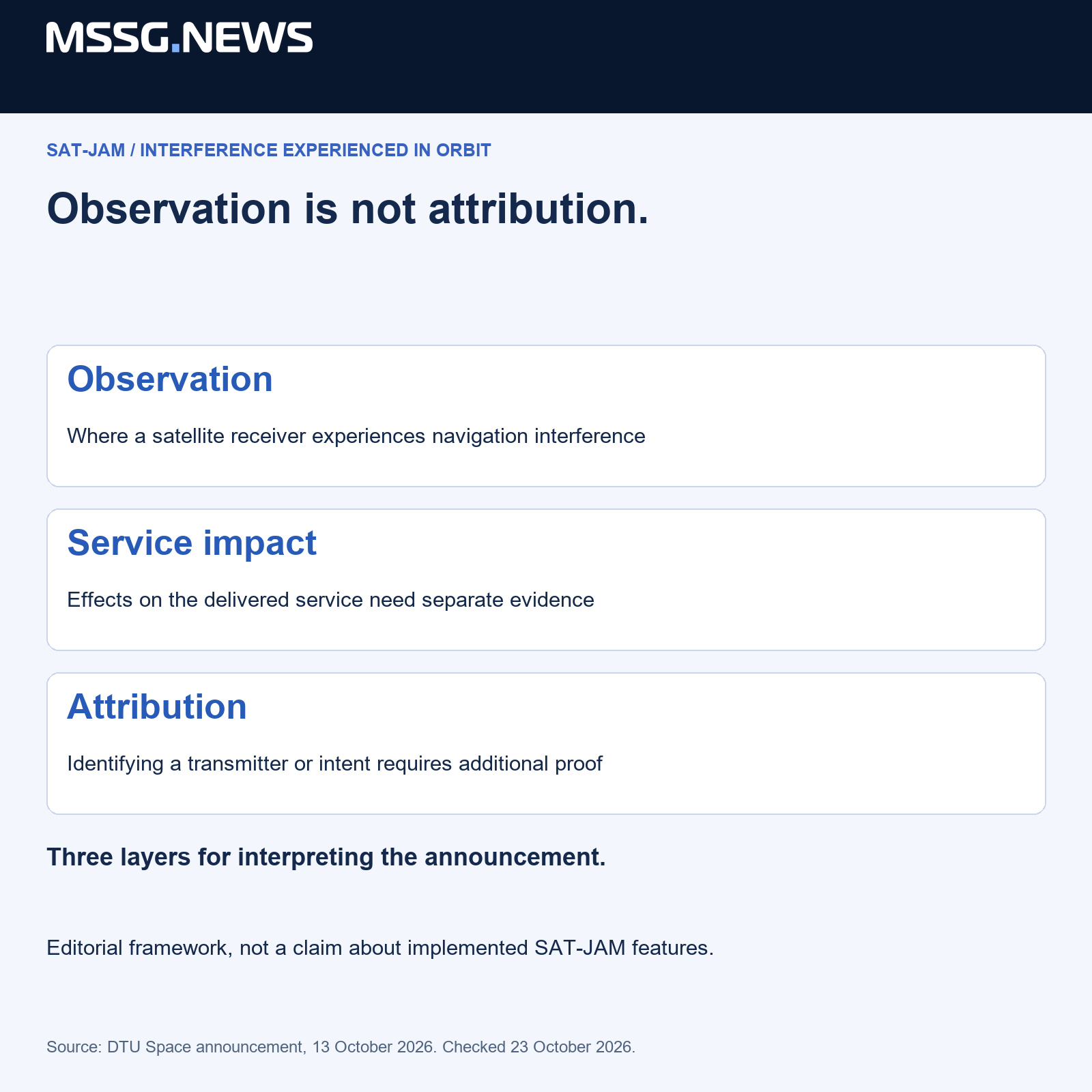
The location of an effect is not the location of its cause
Our reading is that three questions need to stay separate: where a receiver detected a problem, what effect it had on that spacecraft’s data, and what caused it. An affected spacecraft can provide evidence about exposure without uniquely identifying the emitting system on the ground.
That distinction protects the usefulness of open monitoring. A precise-looking map can be valuable for detecting patterns while remaining insufficient for attribution. It should not be converted into an accusation against a particular operator, or treated as a complete account of deliberate interference, without additional evidence.
Resilience has to reach the delivered product
For a European supplier, the practical issue extends from spacecraft navigation to the quality information accompanying a service. An image-processing chain can distinguish the observation time, navigation status and subsequent processing decisions. A customer then has a better basis for deciding whether a specific product meets its purpose.
This is our product implication, not a claim about functionality already implemented by SAT-JAM. A repeatable service needs a documented way to flag suspect inputs and explain their consequences. Monitoring exposure and documenting the delivered product answer different customer questions.
DTU’s work adds a space layer to a problem familiar in civil aviation and maritime navigation. It supports a broader view of dual-use resilience: services that help forecasting, transport and emergency response may depend on satellite navigation even when the end user never sees a navigation receiver. Open research can inform that discussion without becoming an operational guarantee or an attribution tool.
Sources & context
Published by Mitchell Strategic Solutions Group. See our editorial standards and corrections policy. Read more →