

A storm warning is not a response. SmartMetRoad connects satellites to the road crew
An Italian demonstration project combines weather observations, local sensors and field checks with hybrid communications. Its strongest resilience argument is the chain from a forecast to an operational decision on a specific road section.
- Critical infrastructure
- Satellites
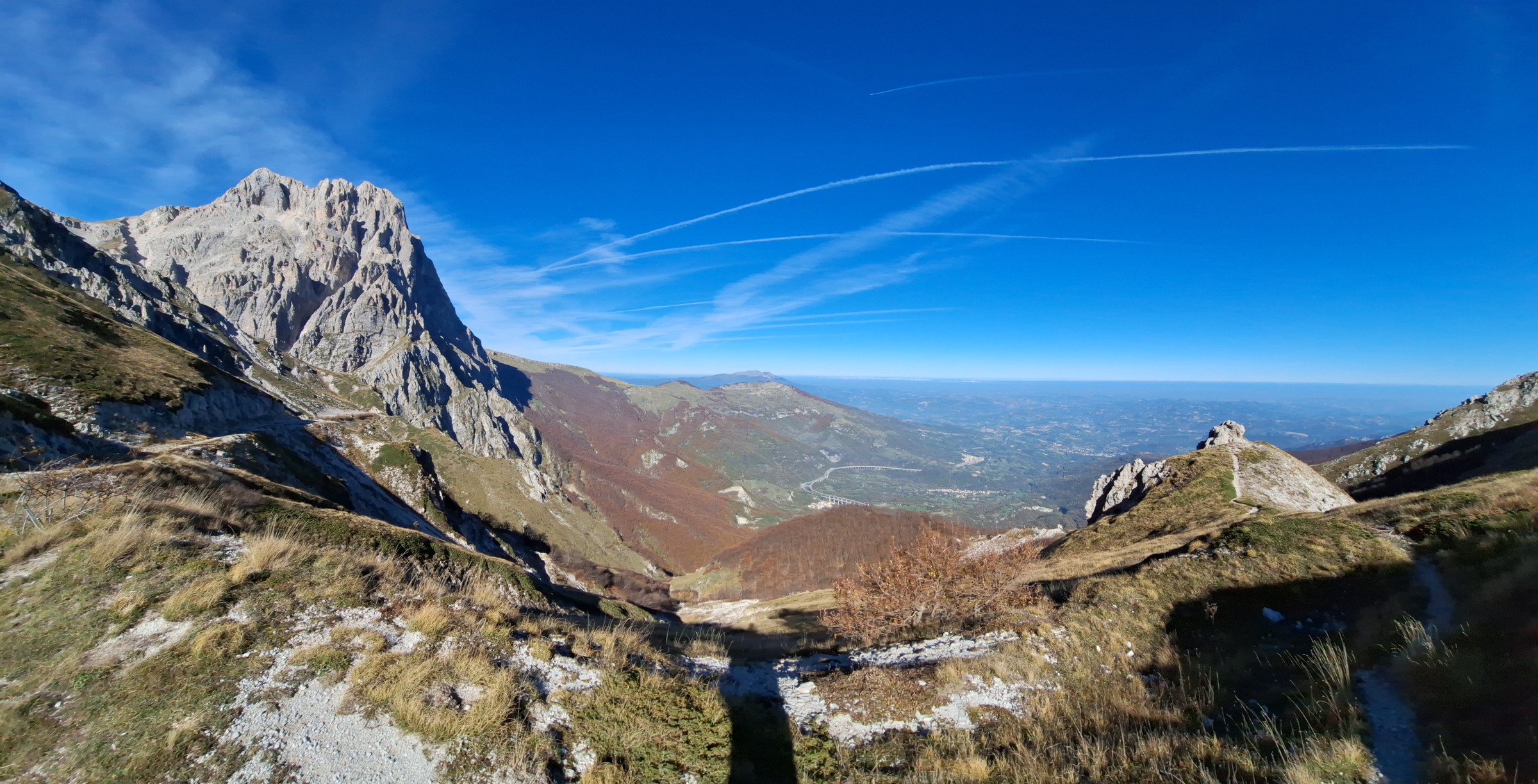
Weather resilience becomes practical when a warning changes what a road operator does. SmartMetRoad, described in an ESA Space Solutions profile updated on 8 October, is developing that connection for infrastructure managers in central Italy. Its pilot region is Abruzzo. The project remains a demonstration programme, with requirements and field-testing procedures developed with users.
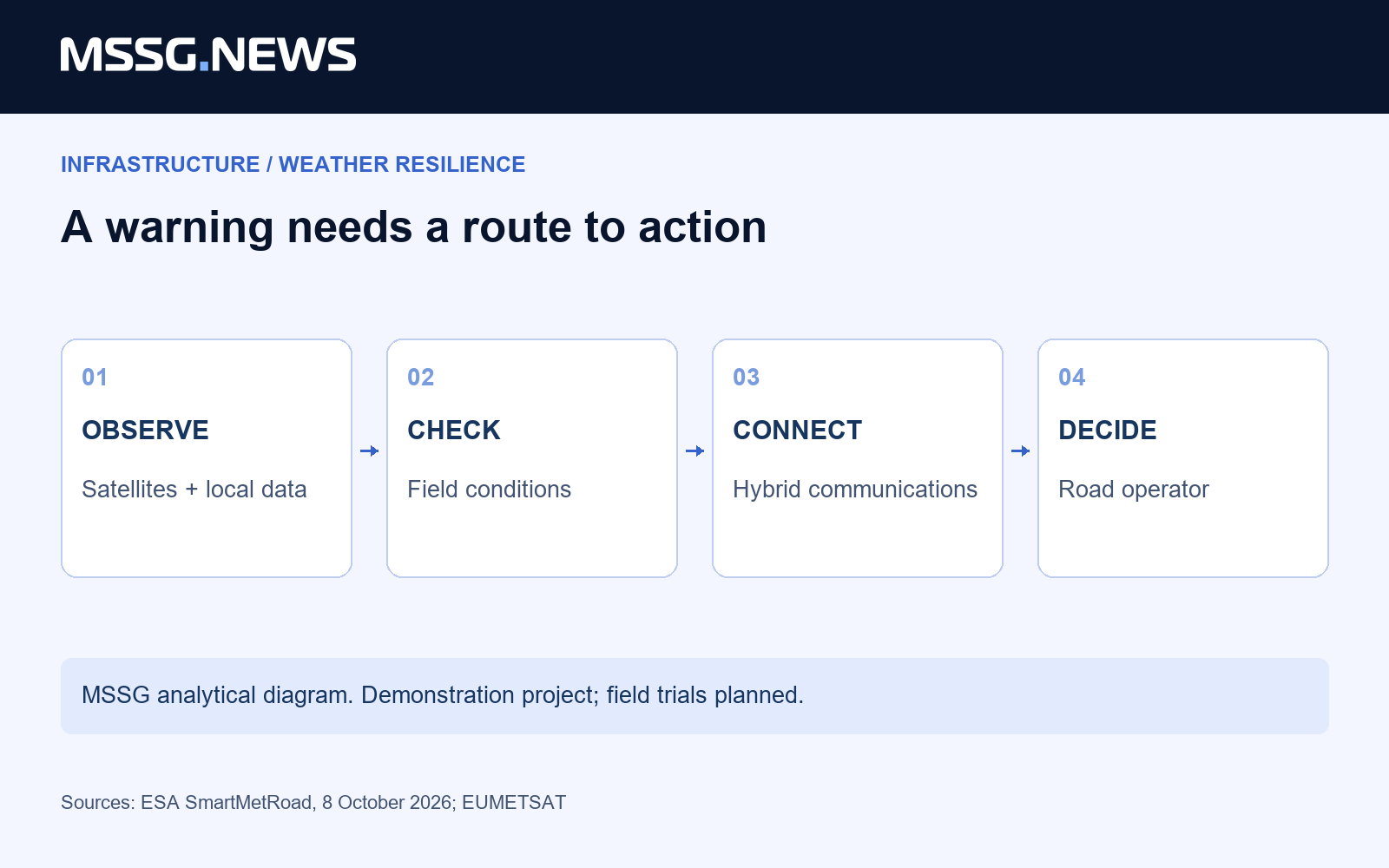
The proposed service combines satellite weather information, radar, forecasting models, vehicle sensors and drone-based checks. Hybrid terrestrial and satellite communications connect information sources to the operating workflow. HIMET leads the project, with Telespazio and WEST Aquila participating. ESA identifies ANAS, Strada dei Parchi and the Municipality of L’Aquila in its account of user engagement.
The industrial point is not simply to put more observations on a map. Our assessment is that the useful output must identify where an operator needs to act and keep that information available to the people responsible. A warning about ice or heavy rain becomes valuable when it supports a decision about a defined road section.
Space supplies part of the evidence
Satellite observations provide a wider view than a local sensor. SmartMetRoad’s profile names the Meteosat Third Generation Lightning Imager among its space inputs. EUMETSAT began distributing that instrument’s data for operational use in October 2024. That earlier milestone provides context for a newer downstream service; the Italian project is not launching the instrument.
Combining broad observations with local checks creates different responsibilities. The forecast estimates a developing risk; a vehicle sensor or field inspection examines local conditions; communications deliver the information. Our reading is that the value lies in how those layers support one operational decision, rather than in the number of technologies listed in the architecture.
This also gives European dual-use suppliers a concrete market question. Civil protection and transport operators need systems that fit existing responsibilities and infrastructure. A supplier of communications, sensing or software can contribute one part of that chain. Its proposition becomes stronger when it identifies the handover to the next user or system.
Measure the response, not only the forecast
A credible pilot should begin with a specific operating task. Which road section is being monitored, who receives the warning, who can request a field check and who decides on a preventive measure? These are our proposed evaluation questions, not published findings that SmartMetRoad has already met every performance target.
The communication layer deserves its own test. Satellite connectivity can provide an alternative path when terrestrial coverage is insufficient. It still needs to be evaluated as part of the real service: whether information reaches the intended user in time and whether it can be used within the operator’s process. A network diagram alone cannot answer those questions.
For infrastructure resilience, the commercial opportunity is a complete decision chain with clear responsibilities. SmartMetRoad is worth following because it brings named operators into requirements development. The next evidence should come from field use: whether the combined system helps the road crew make a better, timely decision and supports the record of that decision afterwards.
- Profile updated
- 8 October 2026
- Pilot region
- Abruzzo, Italy
- Stage
- Demonstration project; field trials planned
Sources & context
- ESA Space Solutions: SmartMetRoad, status update 8 October 2026 ↗
- EUMETSAT: Lightning Imager operational data, 31 October 2024 ↗
Published by Mitchell Strategic Solutions Group. See our editorial standards and corrections policy. Read more →
Related reporting
Your receiver has a position. Who checks whether you can trust it?

NATO’s quantum roadmap sets an industrial clock. Suppliers need evidence before 2027