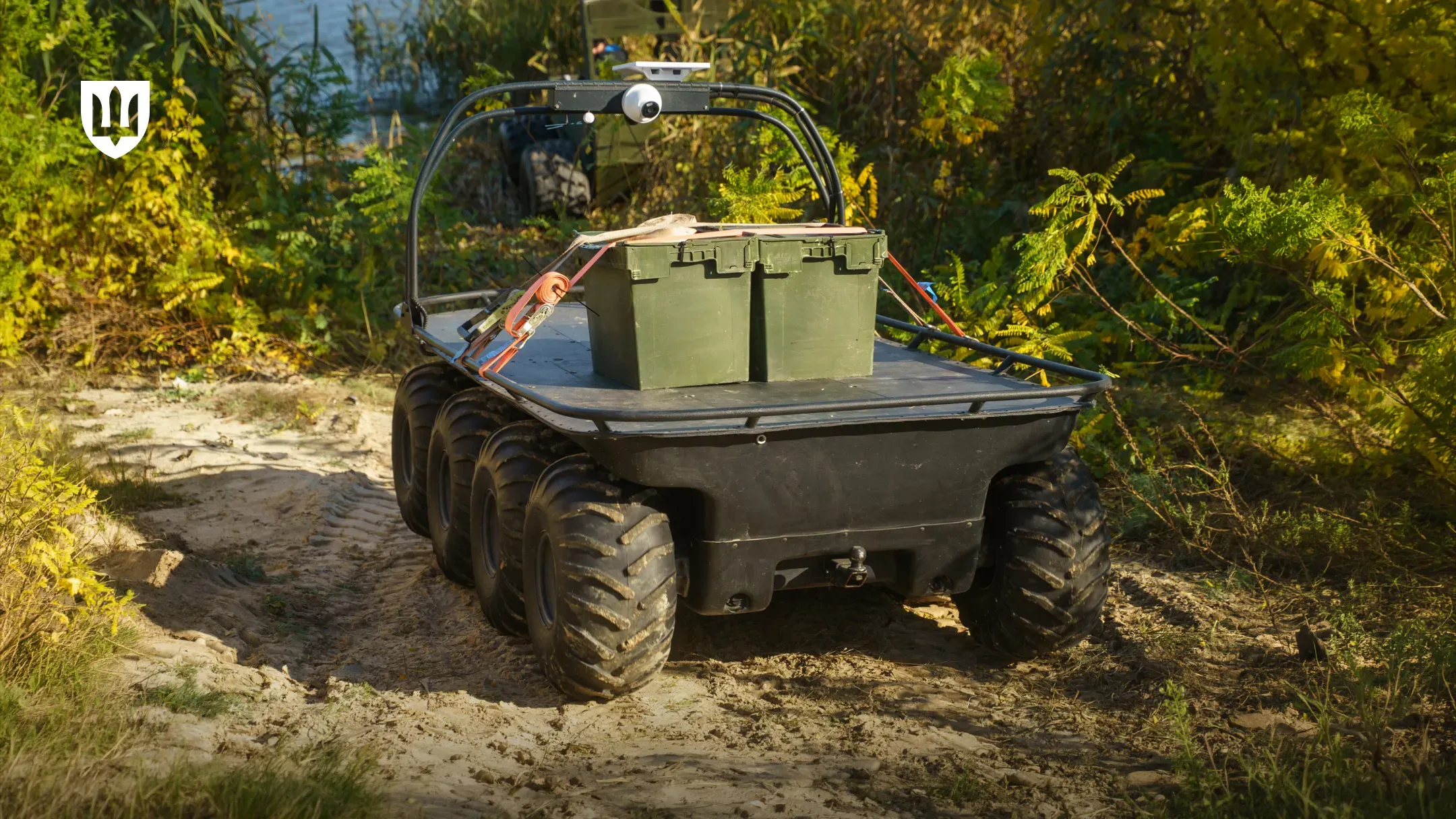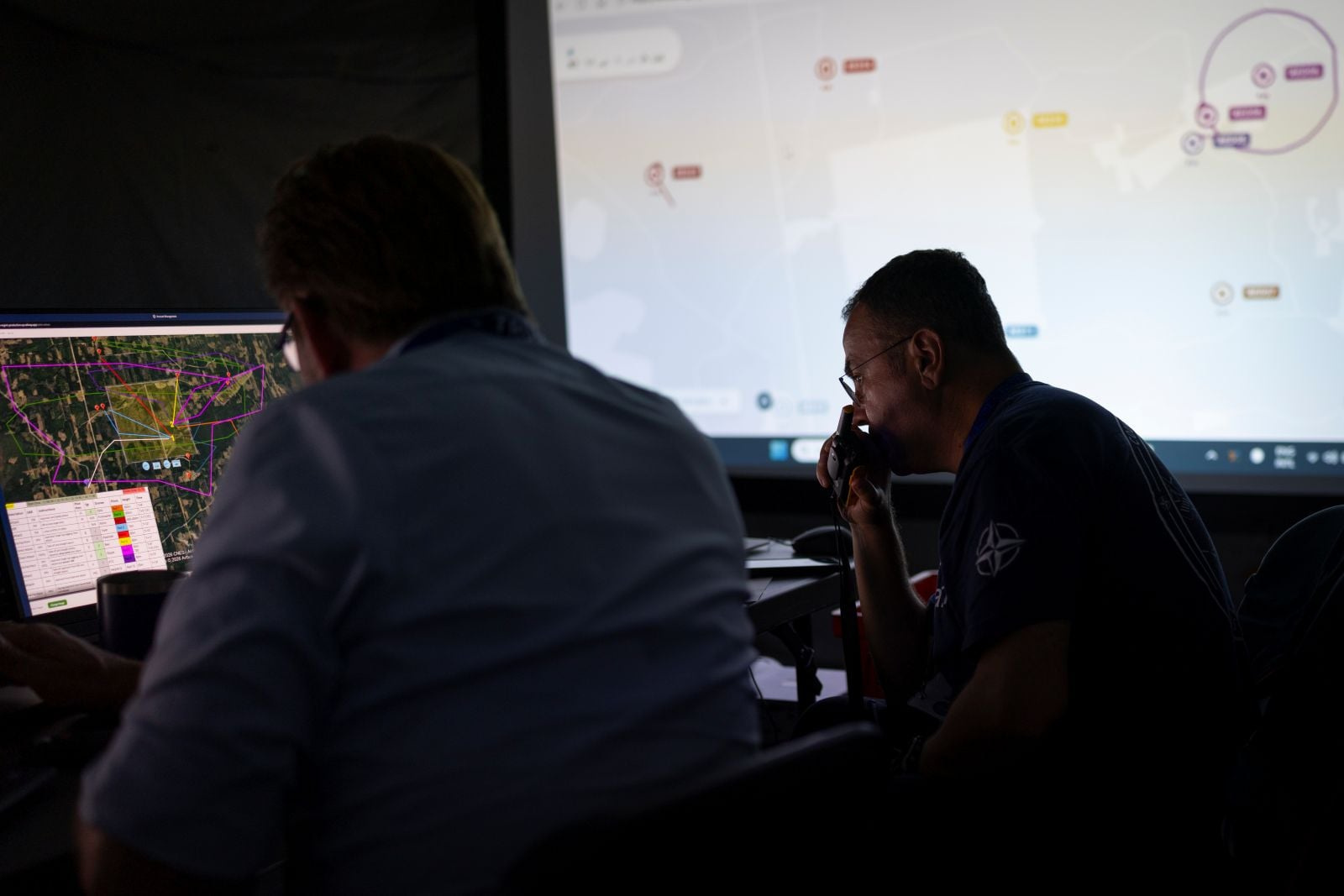

A forest robot can move its sensors. Some measurements still need a stop.
ESA’s SPACE-FOREST update separates navigation, tree measurements and pollinator sensing. The important result is a tested operating method, rather than a claim that every sensor works while the vehicle drives.

- Robotics
- Earth observation
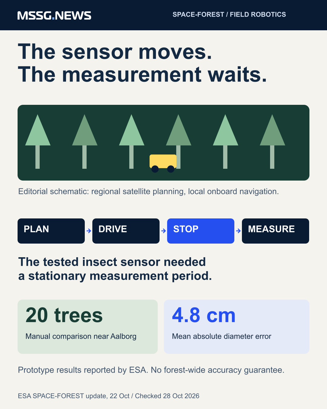
A robot that reaches a sampling point has completed only part of a monitoring job. ESA’s 22 October update on SPACE-FOREST describes a useful boundary: the platform could transport an insect sensor between locations, but movement degraded its measurements. Stationary measurements were feasible, supporting a drive-stop-measure method.
The Danish Tess Space project combines forest inventory with pollination monitoring on a modular ground vehicle.
Its published status is prototype and field validation, not a completed commercial rollout. Forest managers and agricultural users are the initial customers described in the project record.
One platform, two kinds of evidence
For trees, the service combines LiDAR, camera and positioning data to reconstruct the forest and estimate trunk diameter at breast height. ESA reports a comparison against manual measurements of 20 trees near Aalborg: mean absolute diameter error was 4.8 centimetres, with approximately 9% mean absolute percentage error.
Those are sample-specific results, not a stated accuracy guarantee for every species, season or forest. Our analytical reading is to ask what conditions the comparison covered and how errors are recorded when scaling to a larger site. Repeated routes can make data collection more systematic without making every derived measurement equally reliable.
For pollinators, the key output is different. The tested Evolito sensor needed a stable measurement period after transport. A buyer should therefore compare usable observations and total sampling time, rather than vehicle speed alone. Moving a sensor farther is valuable only if the resulting data remains fit for its purpose.
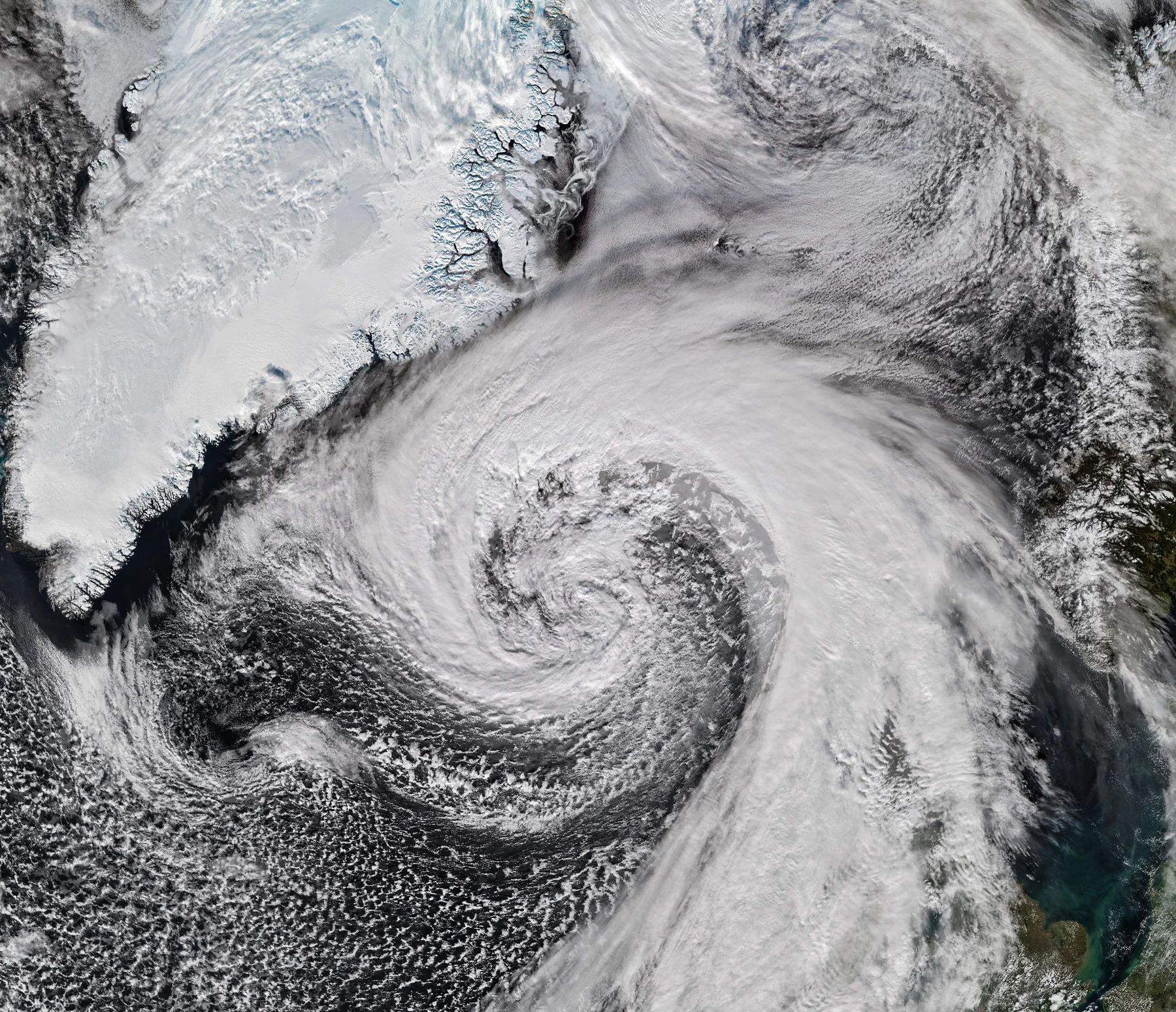
Satellite overview and local navigation do different jobs
Earth-observation information supports survey planning and the choice of areas needing closer inspection. Satellite navigation supplies a global position when visibility permits. Under a dense canopy, the project instead uses onboard LiDAR, cameras and inertial sensing for local navigation, recovering global positioning when suitable GNSS information becomes available.
This architecture matters beyond forestry, but transfer requires evidence for the new use. Tess Space markets a common autonomy stack for defence, mineral exploration and biodiversity. That company positioning does not turn a forest trial into military validation, jamming certification or proof of a particular defence deployment.
Buy the result and its operating conditions
The project describes outputs such as GeoJSON, CSV, reports, point clouds and APIs, with integration into forestry software or partner services. The commercial product therefore includes data processing, documentation and compatibility with the customer’s workflow, not only the vehicle.
Our conclusion is that the stop is part of the service design. Specify the measurement, acceptable error, stationary period and receiving system before comparing autonomous platforms. The next development work identified by ESA concerns accuracy, robustness, larger-scale operation and customer integration. Those are the questions to follow before treating prototype feasibility as a fully delivered service.
Sources & context
- ESA Space Solutions project record, updated 22 October 2026 ↗
- Tess Space technology and applications ↗
Published by Mitchell Strategic Solutions Group. See our editorial standards and corrections policy. Read more →