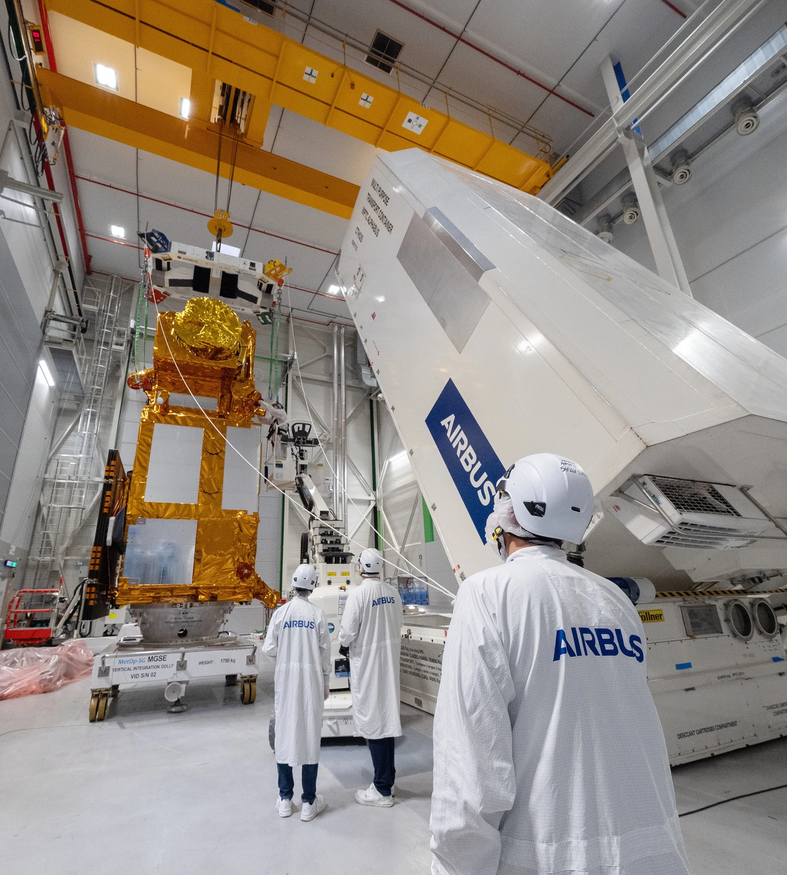

MTG-I2 sends first images: a separate satellite for Europe’s rapid weather scans
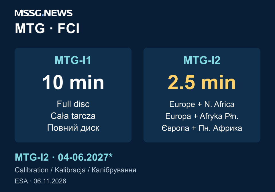
Regional images every 2.5 minutes will complement the first MTG Imager’s ten-minute full-disc view. The first results show the observing concept; operational service is expected in the second quarter of 2027.
- Earth observation
- MTG
Europe’s next weather-imaging capability is a division of work between satellites. ESA has released the first images from MTG-I2, whose Flexible Combined Imager is intended to revisit Europe and North Africa every 2.5 minutes. The first MTG Imager continues to provide a full Earth-hemisphere image every ten minutes.
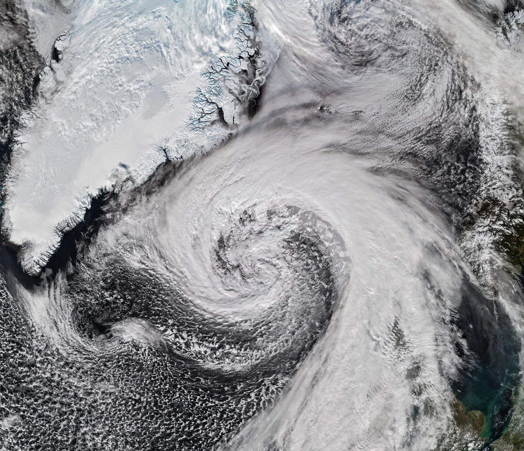
The 6 November report includes an animation assembled from a 45-hour period beginning on 3 November. ESA identifies fog and low clouds over central Europe, convection over the Mediterranean and cloud layers moving in different directions over the Atlantic. A separate full-disc image was acquired on 20 October.
MTG-I2 remains in calibration and validation. ESA expects operational service to begin in the second quarter of 2027. The release therefore provides evidence of the instrument’s observations during commissioning, rather than an announcement that the new service has entered routine operation.
Regional cadence and full-disc context do different jobs
The two scan intervals describe different areas. MTG-I2’s rapid regional observations are designed to complement the broader view from the first Imager. Comparing 2.5 minutes with ten minutes as if both covered the same area would obscure that system design.
Our assessment is that a dedicated regional sequence is useful because developing weather can be followed between broader scans. For teams building forecasting or infrastructure-monitoring services, the integration task is to keep the regional detail attached to its wider meteorological context, while retaining the acquisition time of each observation.
An observation interval is one part of a warning service
The 2.5-minute figure describes the repeat cycle of regional imaging. It does not give the time from a developing hazard to a warning received by a user. Processing, interpretation and the organisation issuing a warning remain separate parts of that chain.
This distinction matters when planning an application for aviation, energy or emergency management. An integrator needs to establish which data product will be available, its delivery characteristics and the validation supporting it. The current ESA release supplies a commissioning milestone and intended scan pattern, not a measured end-to-end warning guarantee.
Commissioning completes the link from spacecraft to service
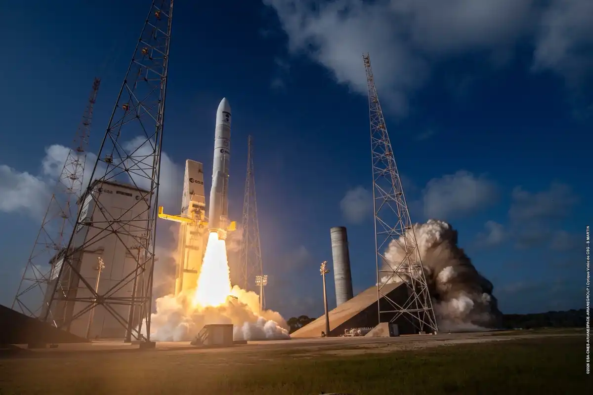
MTG-I2 launched on 27 August 2026 and forms part of the first three-satellite MTG family. ESA developed the spacecraft through Thales Alenia Space against requirements set by EUMETSAT with its member states’ meteorological services. The mission combines industrial delivery with the requirements of an operational weather system.
The newly released images are a concrete opportunity to examine the observing approach while calibration continues. For a European technology team, the useful preparation is to distinguish the fast regional stream from full-disc coverage and follow the operator’s eventual service specifications. That allows development work to be tied to an identifiable feed and stage of readiness.
Sources & context
- ESA: first MTG-I2 images and commissioning status, 6 November 2026 ↗
- ESA: MTG-I2 launch image and mission context, 27 August 2026 ↗
Published by Mitchell Strategic Solutions Group. See our editorial standards and corrections policy. Read more →
Related reporting
ESA’s Earth Virtual Expert puts scientific retrieval inside the AI workflow

HYPER-EDGE studies a ten-minute fire alert. The next evidence is a benchmark, not a launch.